
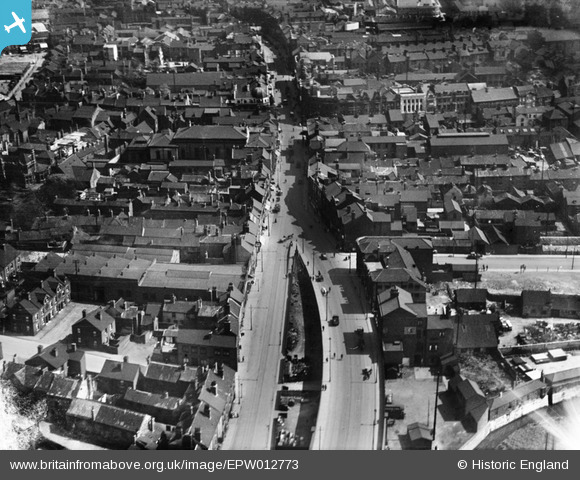
EPW012773 ENGLAND (1925). French Gate, Doncaster, 1925
© Copyright OpenStreetMap contributors and licensed by the OpenStreetMap Foundation. 2026. Cartography is licensed as CC BY-SA.
Nearby Images (17)
EPW012773

EPW012774

EPW012767

EPW012764

EPW012775

EPW012777

EPW012772

EPW061936

EAW043788

EPW061930

EAW044178
 Flour Mill and environs, Doncaster, 1952. This image was marked by Aerofilms Ltd for photo editing.")
EPW012756

EAW043792

EAW044183
 Flour Mill and St George's Church, Doncaster, 1952. This image was marked by Aerofilms Ltd for photo editing.")
EPW061934

EAW044182
 Flour Mill and St George's Church, Doncaster, 1952. This image was marked by Aerofilms Ltd for photo editing.")
EAW044180
 Flour Mill and environs, Doncaster, 1952. This image was marked by Aerofilms Ltd for photo editing.")
Details
| Title | [EPW012773] French Gate, Doncaster, 1925 |
| Reference | EPW012773 |
| Date | 15-May-1925 |
| Link | |
| Place name | DONCASTER |
| Parish | |
| District | |
| Country | ENGLAND |
| Easting / Northing | 457307, 403427 |
| Longitude / Latitude | -1.135480759007, 53.524133512177 |
| National Grid Reference | SE573034 |
Pins

jonron |
Saturday 5th of August 2023 02:49:57 AM | |
|
Trev |
Friday 6th of November 2015 09:57:52 AM | |
|
Trev |
Thursday 5th of November 2015 02:58:57 PM | |
|
Trev |
Sunday 1st of November 2015 01:10:15 PM | |
|
Trev |
Sunday 1st of November 2015 01:08:11 PM | |
|
Trev |
Sunday 1st of November 2015 01:08:09 PM |

