
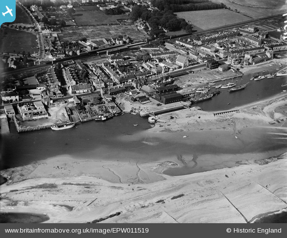
EPW011519 ENGLAND (1924). The Harbour and environs, Southwick, 1924
© Copyright OpenStreetMap contributors and licensed by the OpenStreetMap Foundation. 2026. Cartography is licensed as CC BY-SA.
Nearby Images (5)
EPW011519

EPW054049

EAW019986

EAW019987

EAW019985

Details
| Title | [EPW011519] The Harbour and environs, Southwick, 1924 |
| Reference | EPW011519 |
| Date | July-1924 |
| Link | |
| Place name | SOUTHWICK |
| Parish | |
| District | |
| Country | ENGLAND |
| Easting / Northing | 524164, 104923 |
| Longitude / Latitude | -0.23672747813289, 50.829948413471 |
| National Grid Reference | TQ242049 |
Pins

Luckylea |
Monday 9th of January 2017 11:01:55 PM | |
|
Luckylea |
Monday 9th of January 2017 10:59:38 PM | |
|
Luckylea |
Monday 9th of January 2017 10:58:22 PM | |
|
Luckylea |
Monday 9th of January 2017 10:58:20 PM | |
|
ALAN S |
Monday 22nd of February 2016 11:50:38 AM | |
|
SteveR |
Monday 2nd of March 2015 02:01:29 PM | |
|
micky |
Monday 14th of October 2013 04:16:39 PM | |
|
micky |
Monday 14th of October 2013 04:15:35 PM | |
|
micky |
Monday 14th of October 2013 04:14:13 PM |