
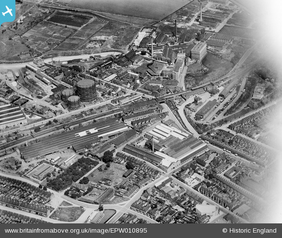
EPW010895 ENGLAND (1924). Hall's Engineering Works and surroundings, Dartford, 1924
© Copyright OpenStreetMap contributors and licensed by the OpenStreetMap Foundation. 2026. Cartography is licensed as CC BY-SA.
Nearby Images (24)
EPW010895

EPW061008

EPW021979

EPW061007

EPW061011

EPW057057

EPW021976

EPW021980

EPW021982

EPW021977

EPW061012

EPW010893

EPW010894

EAW001394

EPW021978

EPW006256

EPW028227

EPW061013

EPW061014

EPW010897

EAW001403

EPW061015

EPW061006

EPW010896

Details
| Title | [EPW010895] Hall's Engineering Works and surroundings, Dartford, 1924 |
| Reference | EPW010895 |
| Date | June-1924 |
| Link | |
| Place name | DARTFORD |
| Parish | |
| District | |
| Country | ENGLAND |
| Easting / Northing | 554160, 174453 |
| Longitude / Latitude | 0.21870934857114, 51.447561908756 |
| National Grid Reference | TQ542745 |
Pins

BJM |
Thursday 17th of February 2022 04:02:24 PM |