
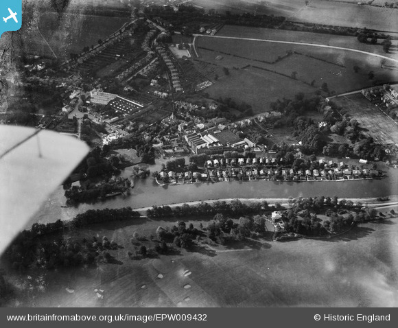
EPW009432 ENGLAND (1923). A C Cars at the Ferry Works and environs, Thames Ditton, 1923
© Copyright OpenStreetMap contributors and licensed by the OpenStreetMap Foundation. 2026. Cartography is licensed as CC BY-SA.
Nearby Images (11)
EPW009432

EPW009429

EAW034716

EAW034748

EPW009428

EPW009430

EAW003679

EPW009434

EPW009433

EPW009435

EPW009431

Details
| Title | [EPW009432] A C Cars at the Ferry Works and environs, Thames Ditton, 1923 |
| Reference | EPW009432 |
| Date | 1923 |
| Link | |
| Place name | THAMES DITTON |
| Parish | |
| District | |
| Country | ENGLAND |
| Easting / Northing | 516153, 167350 |
| Longitude / Latitude | -0.33033458458219, 51.392788504207 |
| National Grid Reference | TQ162674 |
Pins

KiwiMike |
Monday 24th of October 2016 10:35:55 PM | |
|
KiwiMike |
Monday 24th of October 2016 10:35:19 PM | |
|
Pip |
Thursday 2nd of January 2014 04:04:45 PM | |
I think that's the graveyard of St Nicholas' Church. The High Street is on the far side of the AC car factory complex which is now the Harvest Lane gated estate. |
KiwiMike |
Monday 24th of October 2016 10:34:43 PM |
|
Pip |
Thursday 2nd of January 2014 03:54:40 PM | |
|
Stuart |
Wednesday 3rd of July 2013 09:01:16 AM | |
|
Stuart |
Wednesday 3rd of July 2013 08:56:53 AM | |
|
Stuart |
Wednesday 3rd of July 2013 08:55:01 AM | |
|
Stuart |
Wednesday 3rd of July 2013 08:54:45 AM | |

Jon |
Sunday 9th of June 2013 08:12:13 AM |