
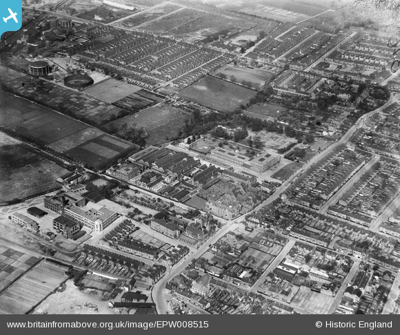
EPW008515 ENGLAND (1923). The Electric Wire Works, Caribonum Works and environs, Leyton, 1923
© Copyright OpenStreetMap contributors and licensed by the OpenStreetMap Foundation. 2026. Cartography is licensed as CC BY-SA.
Nearby Images (28)
EPW008515

EPW016677

EPW016682

EAW030521

EPW008514

EPW016680

EAW030524

EPW008516

EAW030516

EAW030520

EPW008513

EPW016675

EPW016676

EAW030517

EPW016681

EAW030518

EAW030525

EPW008351

EAW030522

EAW030523

EPW016679

EAW030519

EPW008518

EPW016685

EPW016683

EPW008519

EPW008352

EPW016684

Details
| Title | [EPW008515] The Electric Wire Works, Caribonum Works and environs, Leyton, 1923 |
| Reference | EPW008515 |
| Date | 1923 |
| Link | |
| Place name | LEYTON |
| Parish | |
| District | |
| Country | ENGLAND |
| Easting / Northing | 537096, 187111 |
| Longitude / Latitude | -0.02179135542536, 51.56571028894 |
| National Grid Reference | TQ371871 |
Pins

Neil H |
Monday 6th of May 2013 07:47:53 PM |