
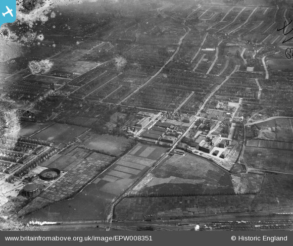
EPW008351 ENGLAND (1923). The Electric Wire Works and environs, Leyton, 1923
© Copyright OpenStreetMap contributors and licensed by the OpenStreetMap Foundation. 2026. Cartography is licensed as CC BY-SA.
Nearby Images (25)
EPW008351

EAW030517

EAW030523

EAW030519

EAW030522

EAW030520

EPW008513

EAW030525

EPW016677

EPW016682

EAW030516

EPW008514

EPW008516

EPW008515

EAW030521

EAW030524

EPW016680

EPW016676

EPW016681

EPW016675

EPW008518

EAW030518

EPW016679

EPW016685

EPW016683

Details
| Title | [EPW008351] The Electric Wire Works and environs, Leyton, 1923 |
| Reference | EPW008351 |
| Date | 1923 |
| Link | |
| Place name | LEYTON |
| Parish | |
| District | |
| Country | ENGLAND |
| Easting / Northing | 537124, 187187 |
| Longitude / Latitude | -0.021357934380093, 51.56638649491 |
| National Grid Reference | TQ371872 |
Pins
Be the first to add a comment to this image!