
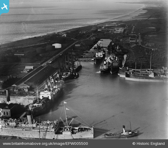
EPW005500 ENGLAND (1921). The Royal Edward Dock, Avonmouth, 1921
© Copyright OpenStreetMap contributors and licensed by the OpenStreetMap Foundation. 2026. Cartography is licensed as CC BY-SA.
Nearby Images (18)
EPW005500

EPR000075

EPW005493

EAW002255

EPW027952

EPR000059A

EPW037152

EPW005492

EPW005508

EPW005502

EAW002058

EAW002249

EPW005491

EAW002247

EAW002070

EPW005518

EAW002062

EPW044777

Details
| Title | [EPW005500] The Royal Edward Dock, Avonmouth, 1921 |
| Reference | EPW005500 |
| Date | 20-March-1921 |
| Link | |
| Place name | AVONMOUTH |
| Parish | |
| District | |
| Country | ENGLAND |
| Easting / Northing | 350987, 178863 |
| Longitude / Latitude | -2.7062754711304, 51.506088336269 |
| National Grid Reference | ST510789 |
Pins

Class31 |
Saturday 22nd of February 2014 07:56:41 PM |