
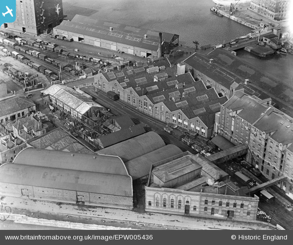
EPW005436 ENGLAND (1921). Bathurst Wharf, Bristol, 1921
© Copyright OpenStreetMap contributors and licensed by the OpenStreetMap Foundation. 2026. Cartography is licensed as CC BY-SA.
Nearby Images (17)
EPW005436

EPW005437

EPW005438

EPW005434

EPW005435

EAW586137

EPW005433

EPW044769

EPW044771

EAW209373

EPW044768

EPW044770

EPW044772

EPW044774

EPW044773

EPW033506

EPW041479

Details
| Title | [EPW005436] Bathurst Wharf, Bristol, 1921 |
| Reference | EPW005436 |
| Date | 20-March-1921 |
| Link | |
| Place name | BRISTOL |
| Parish | |
| District | |
| Country | ENGLAND |
| Easting / Northing | 358670, 172245 |
| Longitude / Latitude | -2.5947962383961, 51.447193220479 |
| National Grid Reference | ST587722 |
Pins

Class31 |
Wednesday 26th of February 2014 02:55:24 PM | |
|
Class31 |
Saturday 16th of February 2013 11:47:15 AM | |
|
Class31 |
Monday 8th of October 2012 01:46:53 PM | |
|
Class31 |
Monday 8th of October 2012 01:46:04 PM | |
|
Class31 |
Monday 1st of October 2012 08:23:24 PM | |
|
Class31 |
Monday 1st of October 2012 08:23:01 PM |
