
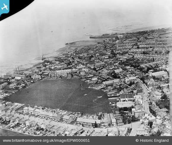
EPW000651 ENGLAND (1920). Whitstable, from the south-west, 1920
© Copyright OpenStreetMap contributors and licensed by the OpenStreetMap Foundation. 2026. Cartography is licensed as CC BY-SA.
Nearby Images (3)
EPW000651

EPW018615

EPW018619

Details
| Title | [EPW000651] Whitstable, from the south-west, 1920 |
| Reference | EPW000651 |
| Date | April-1920 |
| Link | |
| Place name | WHITSTABLE |
| Parish | |
| District | |
| Country | ENGLAND |
| Easting / Northing | 610572, 166367 |
| Longitude / Latitude | 1.0247517623811, 51.356787344195 |
| National Grid Reference | TR106664 |


