
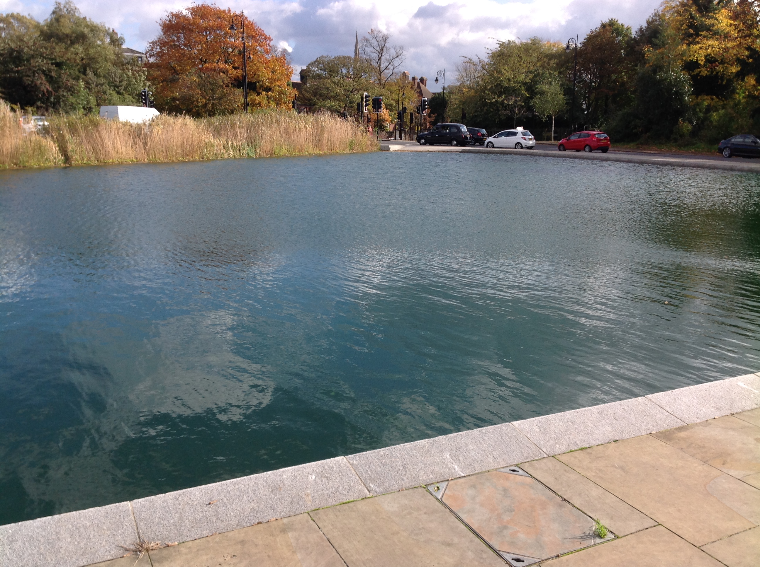
EPW000430 ENGLAND (1920). Whitestone Pond, Hampstead, from the north, 1920

© Copyright OpenStreetMap contributors and licensed by the OpenStreetMap Foundation. 2026. Cartography is licensed as CC BY-SA.
Nearby Images (17)
EPW000430

EPW020197

EPW020197
EPW000818

EPW009353

EPW000815

EPW028170

EPW026950

EAW000612

EPW020198

EPW020198
EPW016652

EPW056655

EPW026949

EPW005126

EPW056652

EPW026948

Details
| Title | [EPW000430] Whitestone Pond, Hampstead, from the north, 1920 |
| Reference | EPW000430 |
| Date | April-1920 |
| Link | |
| Place name | VALE OF HEATH |
| Parish | |
| District | |
| Country | ENGLAND |
| Easting / Northing | 526271, 186485 |
| Longitude / Latitude | -0.17812555928367, 51.562612248961 |
| National Grid Reference | TQ263865 |
Pins


User Comment Contributions

Jack Straws Castle which was a PH, Hampstead, 21/10/2014 |

Class31 |
Wednesday 22nd of October 2014 08:52:24 AM |

Whitestone Pond, Hampstead, 21/10/2014 |
Class31 |
Wednesday 22nd of October 2014 08:48:59 AM |
Whitestone Pond, Hampstead, 21/10/2014 |
Class31 |
Wednesday 22nd of October 2014 08:48:35 AM |

Whitestone Pond, Hampstead, 21/10/2014 |
Class31 |
Wednesday 22nd of October 2014 08:48:08 AM |