
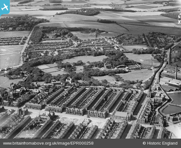
EPR000258 ENGLAND (1934). Windle Street and Victoria Park, St Helens, 1934
© Copyright OpenStreetMap contributors and licensed by the OpenStreetMap Foundation. 2026. Cartography is licensed as CC BY-SA.
Nearby Images (2)
EPR000258

EPR000257

Details
| Title | [EPR000258] Windle Street and Victoria Park, St Helens, 1934 |
| Reference | EPR000258 |
| Date | 23-August-1934 |
| Link | |
| Place name | ST HELENS |
| Parish | |
| District | |
| Country | ENGLAND |
| Easting / Northing | 350689, 396440 |
| Longitude / Latitude | -2.742807271524, 53.462140617017 |
| National Grid Reference | SJ507964 |
Pins
Be the first to add a comment to this image!