
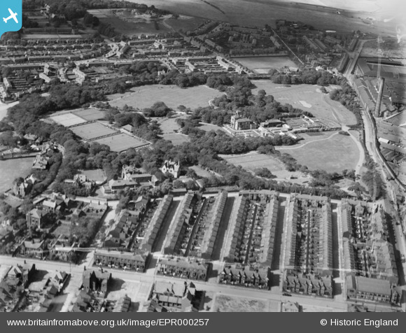
EPR000257 ENGLAND (1934). Victoria Park, St Helens, 1934
© Copyright OpenStreetMap contributors and licensed by the OpenStreetMap Foundation. 2026. Cartography is licensed as CC BY-SA.
Nearby Images (2)
EPR000257

EPR000258

Details
| Title | [EPR000257] Victoria Park, St Helens, 1934 |
| Reference | EPR000257 |
| Date | 23-August-1934 |
| Link | |
| Place name | ST HELENS |
| Parish | |
| District | |
| Country | ENGLAND |
| Easting / Northing | 350710, 396366 |
| Longitude / Latitude | -2.7424793567041, 53.46147741444 |
| National Grid Reference | SJ507964 |
Pins

gBr |
Saturday 27th of December 2014 05:35:00 PM |