
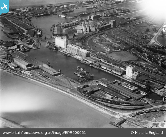
EPR000061 ENGLAND (1934). The docks, Avonmouth, 1934. This image has been affected by flare.
© Copyright OpenStreetMap contributors and licensed by the OpenStreetMap Foundation. 2026. Cartography is licensed as CC BY-SA.
Nearby Images (13)
EPR000061

EPW027946

EPW027954

EPR000059

EPR000058

EAW002253

EPW027951

EAW002072

EPW005487

EPW019270

EPW046975

EAW002071

EPW008649

Details
| Title | [EPR000061] The docks, Avonmouth, 1934. This image has been affected by flare. |
| Reference | EPR000061 |
| Date | 4-July-1934 |
| Link | |
| Place name | AVONMOUTH |
| Parish | |
| District | |
| Country | ENGLAND |
| Easting / Northing | 351387, 177903 |
| Longitude / Latitude | -2.7003796128024, 51.497490738907 |
| National Grid Reference | ST514779 |
Pins

MB |
Monday 26th of September 2016 05:10:49 PM | |
|
MB |
Monday 26th of September 2016 05:09:55 PM | |
|
MB |
Monday 26th of September 2016 05:09:27 PM | |
|
MB |
Monday 26th of September 2016 05:08:49 PM | |
|
MB |
Monday 26th of September 2016 05:08:27 PM | |
|
MB |
Monday 26th of September 2016 05:08:01 PM | |
|
MB |
Monday 26th of September 2016 05:06:33 PM | |
|
MB |
Monday 26th of September 2016 05:04:50 PM | |
|
MB |
Monday 26th of September 2016 05:04:31 PM | |
|
MB |
Monday 26th of September 2016 05:04:07 PM | |
|
MB |
Monday 26th of September 2016 05:03:37 PM |