
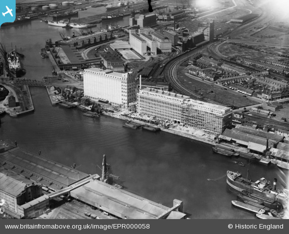
EPR000058 ENGLAND (1934). Flour Mills alongside Avonmouth Dock, Avonmouth, 1934. This image has been affected by flare.
© Copyright OpenStreetMap contributors and licensed by the OpenStreetMap Foundation. 2026. Cartography is licensed as CC BY-SA.
Nearby Images (15)
EPR000058

EPR000059

EPW027954

EPW027951

EPR000061

EPW005487

EAW002071

EPW027946

EAW002253

EPW008649

EPW046970

EPW043043

EPW014691

EPW019270

EPW046975

Details
| Title | [EPR000058] Flour Mills alongside Avonmouth Dock, Avonmouth, 1934. This image has been affected by flare. |
| Reference | EPR000058 |
| Date | 4-July-1934 |
| Link | |
| Place name | AVONMOUTH |
| Parish | |
| District | |
| Country | ENGLAND |
| Easting / Northing | 351327, 177981 |
| Longitude / Latitude | -2.7012547415033, 51.498186937617 |
| National Grid Reference | ST513780 |
Pins
Be the first to add a comment to this image!