
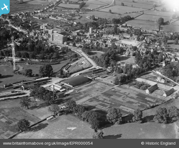
EPR000054 ENGLAND (1934). The town, Calne, 1934. This image was marked by Aero Pictorial Ltd for photo editing.
© Copyright OpenStreetMap contributors and licensed by the OpenStreetMap Foundation. 2026. Cartography is licensed as CC BY-SA.
Nearby Images (13)
EPR000054

EPR000052

EPR000051

EPR000050

EPR000053

EPW029301

EPW033522

EPR000049
 Ltd By-Products Factory at the railway station, Calne, 1934")
EPW033527

EPR000055

EPW029292

EPW029295

EPW029288

Details
| Title | [EPR000054] The town, Calne, 1934. This image was marked by Aero Pictorial Ltd for photo editing. |
| Reference | EPR000054 |
| Date | 2-July-1934 |
| Link | |
| Place name | CALNE |
| Parish | CALNE |
| District | |
| Country | ENGLAND |
| Easting / Northing | 399692, 170663 |
| Longitude / Latitude | -2.0044313002106, 51.434475532534 |
| National Grid Reference | ST997707 |
