
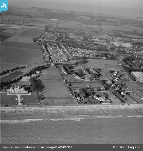
EAW053145 ENGLAND (1954). Harsfold Road and the Poets Corner area, Rustington, from the south, 1954
© Copyright OpenStreetMap contributors and licensed by the OpenStreetMap Foundation. 2026. Cartography is licensed as CC BY-SA.
Nearby Images (6)
EAW053145

EAW053144

EAW053143

EPW017752

EPW017749

EAW053141

Details
| Title | [EAW053145] Harsfold Road and the Poets Corner area, Rustington, from the south, 1954 |
| Reference | EAW053145 |
| Date | 20-February-1954 |
| Link | |
| Place name | RUSTINGTON |
| Parish | RUSTINGTON |
| District | |
| Country | ENGLAND |
| Easting / Northing | 504471, 101446 |
| Longitude / Latitude | -0.51727171840993, 50.802578588927 |
| National Grid Reference | TQ045014 |
Pins

Gasometerman |
Friday 3rd of July 2020 09:45:19 PM |