
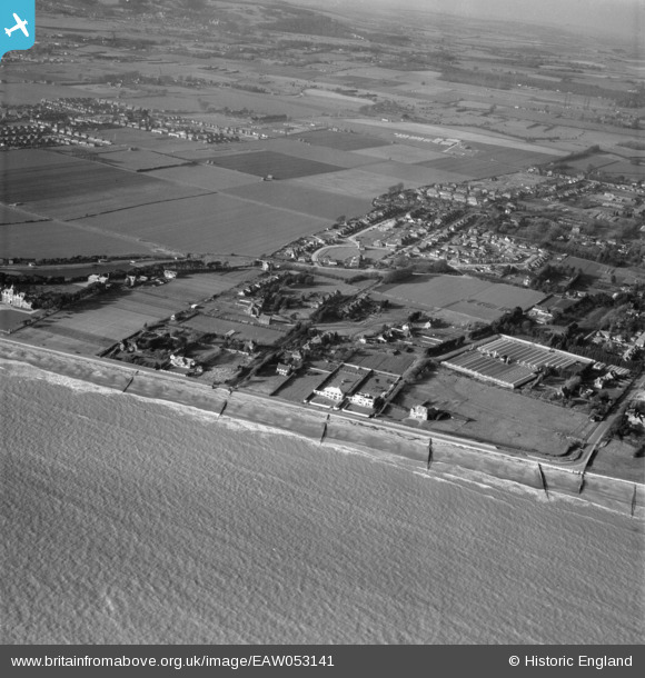
EAW053141 ENGLAND (1954). Sea Road, Harsfold Road and environs, Rustington, 1954
© Copyright OpenStreetMap contributors and licensed by the OpenStreetMap Foundation. 2026. Cartography is licensed as CC BY-SA.
Nearby Images (6)
EAW053141

EAW053143

EAW053148

EAW053144

EAW053145

EAW053140

Details
| Title | [EAW053141] Sea Road, Harsfold Road and environs, Rustington, 1954 |
| Reference | EAW053141 |
| Date | 20-February-1954 |
| Link | |
| Place name | RUSTINGTON |
| Parish | RUSTINGTON |
| District | |
| Country | ENGLAND |
| Easting / Northing | 504605, 101603 |
| Longitude / Latitude | -0.51532583331245, 50.803965924516 |
| National Grid Reference | TQ046016 |
