
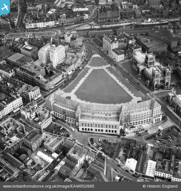
EAW052885 ENGLAND (1953). City Hall, the Cathedral Church of The Holy and Undivided Trinity and environs, Bristol, 1953
© Copyright OpenStreetMap contributors and licensed by the OpenStreetMap Foundation. 2026. Cartography is licensed as CC BY-SA.
Nearby Images (22)
EAW052885

EAW052883

EPW012017

EAW052884

EAW052874

EAW050556

EPW005473

EAW002046

EPW005472

EPW005462

EAW002259

EPW008828

EPW005448

EPW005452

EPW005451

EPW005450

EPR000106

EPW005447

EPW005449

EAW002262

EAW002052

EAW050557

Details
| Title | [EAW052885] City Hall, the Cathedral Church of The Holy and Undivided Trinity and environs, Bristol, 1953 |
| Reference | EAW052885 |
| Date | 16-October-1953 |
| Link | |
| Place name | BRISTOL |
| Parish | |
| District | |
| Country | ENGLAND |
| Easting / Northing | 358332, 172799 |
| Longitude / Latitude | -2.5997255076248, 51.452150062769 |
| National Grid Reference | ST583728 |
Pins

Braikenridge |
Monday 27th of April 2015 01:00:45 PM |