
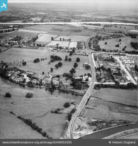
EAW051935 ENGLAND (1953). Countess Wear Road, Bridge Road and the surrounding area, Lower Wear, from the south-west, 1953. This image was marked by Aerofilms Ltd for photo editing.
© Copyright OpenStreetMap contributors and licensed by the OpenStreetMap Foundation. 2026. Cartography is licensed as CC BY-SA.
Nearby Images (3)
EAW051935

EAW051934

EAW051936

Details
| Title | [EAW051935] Countess Wear Road, Bridge Road and the surrounding area, Lower Wear, from the south-west, 1953. This image was marked by Aerofilms Ltd for photo editing. |
| Reference | EAW051935 |
| Date | 30-August-1953 |
| Link | |
| Place name | LOWER WEAR |
| Parish | |
| District | |
| Country | ENGLAND |
| Easting / Northing | 294155, 89597 |
| Longitude / Latitude | -3.4988158007084, 50.695799818281 |
| National Grid Reference | SX942896 |
Pins
Be the first to add a comment to this image!