
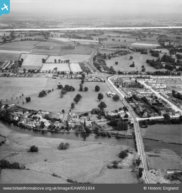
EAW051934 ENGLAND (1953). Countess Wear Road, Bridge Road and the surrounding area, Lower Wear, from the south-west, 1953. This image was marked by Aerofilms Ltd for photo editing.
© Copyright OpenStreetMap contributors and licensed by the OpenStreetMap Foundation. 2026. Cartography is licensed as CC BY-SA.
Nearby Images (3)
EAW051934

EAW051935

EAW051936

Details
| Title | [EAW051934] Countess Wear Road, Bridge Road and the surrounding area, Lower Wear, from the south-west, 1953. This image was marked by Aerofilms Ltd for photo editing. |
| Reference | EAW051934 |
| Date | 30-August-1953 |
| Link | |
| Place name | LOWER WEAR |
| Parish | |
| District | |
| Country | ENGLAND |
| Easting / Northing | 294169, 89692 |
| Longitude / Latitude | -3.4986448499993, 50.69665647982 |
| National Grid Reference | SX942897 |
Pins

David |
Friday 19th of August 2022 09:14:42 PM | |
Allen T |
Wednesday 19th of November 2014 05:18:34 PM | |
Allen T |
Tuesday 18th of November 2014 03:04:27 PM | |
Allen T |
Tuesday 18th of November 2014 03:02:22 PM | |

Chas Drown |
Thursday 13th of November 2014 04:33:35 PM |