
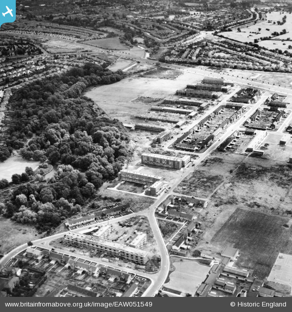
EAW051549 ENGLAND (1953). The Butts Farm Estate and environs, Hanworth, 1953
© Copyright OpenStreetMap contributors and licensed by the OpenStreetMap Foundation. 2026. Cartography is licensed as CC BY-SA.
Nearby Images (12)
EAW051549

EAW051548

EAW051003

EAW051547

EAW051545

EAW051546

EAW051009

EAW051004

EAW051007

EAW051005

EAW051002

EAW051006

Details
| Title | [EAW051549] The Butts Farm Estate and environs, Hanworth, 1953 |
| Reference | EAW051549 |
| Date | 14-August-1953 |
| Link | |
| Place name | HANWORTH |
| Parish | |
| District | |
| Country | ENGLAND |
| Easting / Northing | 512878, 172672 |
| Longitude / Latitude | -0.37569606211201, 51.441289196166 |
| National Grid Reference | TQ129727 |
Pins
Be the first to add a comment to this image!