
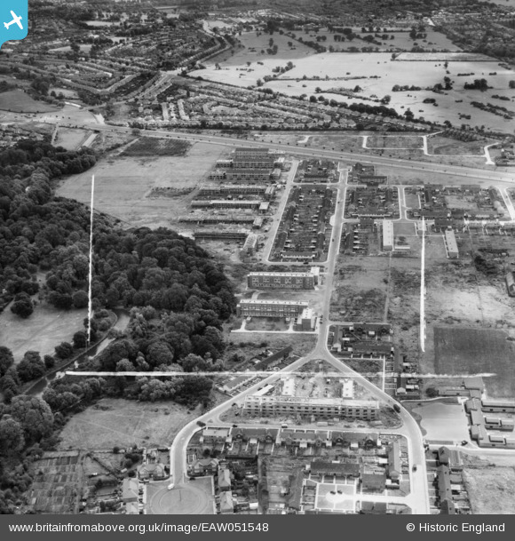
EAW051548 ENGLAND (1953). The Butts Farm Estate and environs, Hanworth, 1953. This image was marked by Aerofilms Ltd for photo editing.
© Copyright OpenStreetMap contributors and licensed by the OpenStreetMap Foundation. 2026. Cartography is licensed as CC BY-SA.
Nearby Images (10)
EAW051548

EAW051003

EAW051547

EAW051545

EAW051549

EAW051546

EAW051009

EAW051004

EAW051007

EAW051005

Details
| Title | [EAW051548] The Butts Farm Estate and environs, Hanworth, 1953. This image was marked by Aerofilms Ltd for photo editing. |
| Reference | EAW051548 |
| Date | 14-August-1953 |
| Link | |
| Place name | HANWORTH |
| Parish | |
| District | |
| Country | ENGLAND |
| Easting / Northing | 512898, 172667 |
| Longitude / Latitude | -0.37540998334646, 51.441240264418 |
| National Grid Reference | TQ129727 |
Pins
Be the first to add a comment to this image!