
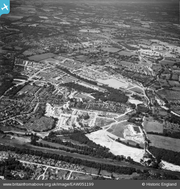
EAW051199 ENGLAND (1953). The Three Bridges and Northgate areas, Crawley, 1953
© Copyright OpenStreetMap contributors and licensed by the OpenStreetMap Foundation. 2025. Cartography is licensed as CC BY-SA.
Nearby Images (2)
EAW051199

EAW050913

Details
| Title | [EAW051199] The Three Bridges and Northgate areas, Crawley, 1953 |
| Reference | EAW051199 |
| Date | 6-August-1953 |
| Link | |
| Place name | CRAWLEY |
| Parish | |
| District | |
| Country | ENGLAND |
| Easting / Northing | 527956, 137386 |
| Longitude / Latitude | -0.17147787943085, 51.120924567485 |
| National Grid Reference | TQ280374 |
Pins

toby starr |
Friday 3rd of July 2020 09:49:51 AM |