
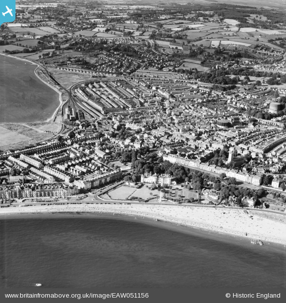
EAW051156 ENGLAND (1953). The town, Exmouth, 1953
© Copyright OpenStreetMap contributors and licensed by the OpenStreetMap Foundation. 2026. Cartography is licensed as CC BY-SA.
Nearby Images (8)
EAW051156

EPW023665

EAW007591

EAW031937

EPW023668

EPW033466

EPW023669

EAW031935

Details
| Title | [EAW051156] The town, Exmouth, 1953 |
| Reference | EAW051156 |
| Date | 10-August-1953 |
| Link | |
| Place name | EXMOUTH |
| Parish | EXMOUTH |
| District | |
| Country | ENGLAND |
| Easting / Northing | 300053, 80832 |
| Longitude / Latitude | -3.4129583805768, 50.618036868575 |
| National Grid Reference | SY001808 |
Pins
Be the first to add a comment to this image!