
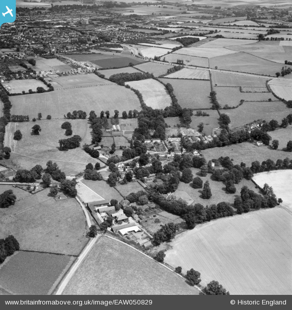
EAW050829 ENGLAND (1953). The village and surrounding countryside, Willian, 1953
© Copyright OpenStreetMap contributors and licensed by the OpenStreetMap Foundation. 2026. Cartography is licensed as CC BY-SA.
Nearby Images (17)
EAW050829

EAW050828

EAW050817

EAW050819

EAW050821

EAW050830

EAW050822

EAW050823

EAW050825

EAW050827

EAW050820

EAW050831

EAW050818

EAW050824

EAW050826

EAW050832

EAW050833

Details
| Title | [EAW050829] The village and surrounding countryside, Willian, 1953 |
| Reference | EAW050829 |
| Date | 21-July-1953 |
| Link | |
| Place name | WILLIAN |
| Parish | LETCHWORTH GARDEN CITY |
| District | |
| Country | ENGLAND |
| Easting / Northing | 522503, 230770 |
| Longitude / Latitude | -0.21684680399468, 51.961467466871 |
| National Grid Reference | TL225308 |
Pins

Roscoe |
Wednesday 12th of November 2014 09:07:01 PM | |
|
Roscoe |
Wednesday 12th of November 2014 09:06:20 PM | |
|
Roscoe |
Wednesday 12th of November 2014 09:05:04 PM | |
|
Roscoe |
Wednesday 12th of November 2014 09:03:47 PM | |
|
Roscoe |
Wednesday 12th of November 2014 09:00:19 PM |