
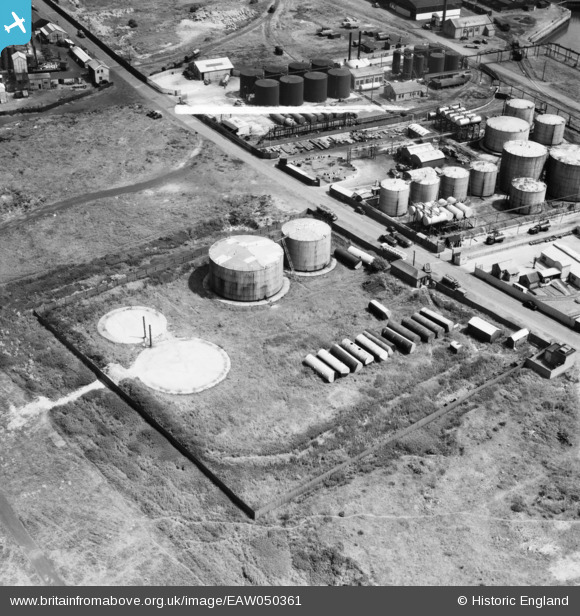
EAW050361 ENGLAND (1953). Part of the Shell-Mex and BP Ltd oil storage depot on Chain Caul Road, Preston, 1953. This image was marked by Aerofilms Ltd for photo editing.
© Copyright OpenStreetMap contributors and licensed by the OpenStreetMap Foundation. 2026. Cartography is licensed as CC BY-SA.
Nearby Images (18)
EAW050361

EAW050363

EAW050364

EAW050358

EAW050357

EAW050362

EAW050359

EAW050360

EAW050355

EAW050356

EPW038881

EPW034867

EPW034868

EPW034865

EPW034866

EPW034863

EPW034864

EPW038853

Details
| Title | [EAW050361] Part of the Shell-Mex and BP Ltd oil storage depot on Chain Caul Road, Preston, 1953. This image was marked by Aerofilms Ltd for photo editing. |
| Reference | EAW050361 |
| Date | 3-July-1953 |
| Link | |
| Place name | PRESTON |
| Parish | |
| District | |
| Country | ENGLAND |
| Easting / Northing | 350625, 429666 |
| Longitude / Latitude | -2.7490384396321, 53.760787529461 |
| National Grid Reference | SD506297 |
Pins
Be the first to add a comment to this image!