
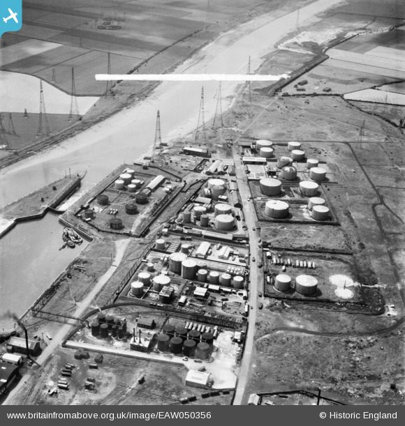
EAW050356 ENGLAND (1953). Shell-Mex and BP Ltd oil storage depot on Chain Caul Road, Preston, 1953. This image was marked by Aerofilms Ltd for photo editing.
© Copyright OpenStreetMap contributors and licensed by the OpenStreetMap Foundation. 2026. Cartography is licensed as CC BY-SA.
Nearby Images (23)
EAW050356

EPW038881

EAW050355

EPW034867

EPW038853

EPW034868

EAW050360

EPW034865

EAW050357

EPW034863

EPW034864

EPW034866

EAW050358

EPW034869

EPW034871

EPW034870

EAW050364

EAW050359

EAW050361

EAW050363

EPW038880

EAW050362

EPW038882

Details
| Title | [EAW050356] Shell-Mex and BP Ltd oil storage depot on Chain Caul Road, Preston, 1953. This image was marked by Aerofilms Ltd for photo editing. |
| Reference | EAW050356 |
| Date | 3-July-1953 |
| Link | |
| Place name | PRESTON |
| Parish | |
| District | |
| Country | ENGLAND |
| Easting / Northing | 350542, 429502 |
| Longitude / Latitude | -2.7502711884979, 53.759305575084 |
| National Grid Reference | SD505295 |
Pins

Matt Aldred edob.mattaldred.com |
Thursday 3rd of February 2022 09:42:12 PM | |
|
Matt Aldred edob.mattaldred.com |
Thursday 3rd of February 2022 09:41:49 PM |