
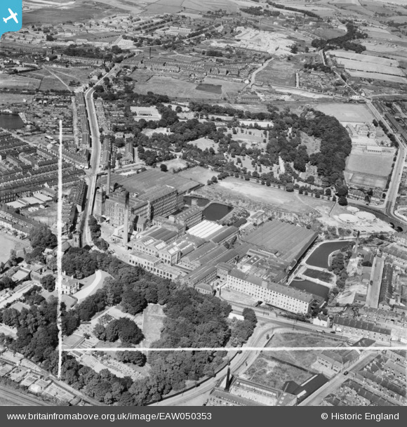
EAW050353 ENGLAND (1953). Carrfield and Baileyfield Cotton Mills and environs, Flowery Field, 1953. This image was marked by Aerofilms Ltd for photo editing.
© Copyright OpenStreetMap contributors and licensed by the OpenStreetMap Foundation. 2025. Cartography is licensed as CC BY-SA.
Nearby Images (7)
EAW050353

EAW050354

EAW050216

EAW050214

EAW050217

EAW050215

EAW050224

Details
| Title | [EAW050353] Carrfield and Baileyfield Cotton Mills and environs, Flowery Field, 1953. This image was marked by Aerofilms Ltd for photo editing. |
| Reference | EAW050353 |
| Date | 3-July-1953 |
| Link | |
| Place name | FLOWERY FIELD |
| Parish | |
| District | |
| Country | ENGLAND |
| Easting / Northing | 394732, 395512 |
| Longitude / Latitude | -2.0793437598747, 53.456080765713 |
| National Grid Reference | SJ947955 |
