
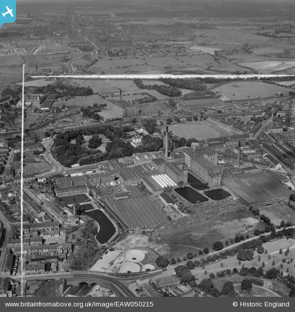
EAW050215 ENGLAND (1953). Carrfield Cotton Mill and adjacent mill buildings on Newton Street, Hyde, 1953. This image was marked by Aerofilms Ltd for photo editing.
© Copyright OpenStreetMap contributors and licensed by the OpenStreetMap Foundation. 2025. Cartography is licensed as CC BY-SA.
Nearby Images (8)
EAW050215

EAW050224

EAW050223

EAW050214

EAW050225

EAW050216

EAW050353

EAW050354

Details
| Title | [EAW050215] Carrfield Cotton Mill and adjacent mill buildings on Newton Street, Hyde, 1953. This image was marked by Aerofilms Ltd for photo editing. |
| Reference | EAW050215 |
| Date | 29-June-1953 |
| Link | |
| Place name | HYDE |
| Parish | |
| District | |
| Country | ENGLAND |
| Easting / Northing | 394530, 395470 |
| Longitude / Latitude | -2.0823854402086, 53.455701146913 |
| National Grid Reference | SJ945955 |
