
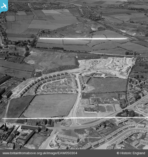
EAW050304 ENGLAND (1953). Housing estate under construction to the south of Wakefield Road, Dewsbury, 1953. This image was marked by Aerofilms Ltd for photo editing.
© Copyright OpenStreetMap contributors and licensed by the OpenStreetMap Foundation. 2026. Cartography is licensed as CC BY-SA.
Nearby Images (8)
EAW050304

EAW050303

EAW050309

EAW050302

EAW050306

EAW050305

EAW050307

EAW050308

Details
| Title | [EAW050304] Housing estate under construction to the south of Wakefield Road, Dewsbury, 1953. This image was marked by Aerofilms Ltd for photo editing. |
| Reference | EAW050304 |
| Date | 3-July-1953 |
| Link | |
| Place name | DEWSBURY |
| Parish | |
| District | |
| Country | ENGLAND |
| Easting / Northing | 426333, 421540 |
| Longitude / Latitude | -1.6011962114577, 53.689418104119 |
| National Grid Reference | SE263215 |
Pins
Be the first to add a comment to this image!