
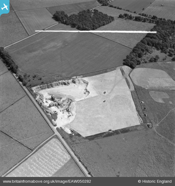
EAW050282 ENGLAND (1953). Blackhill Quarry, Black Hill, 1953. This image was marked by Aerofilms Ltd for photo editing.
© Copyright OpenStreetMap contributors and licensed by the OpenStreetMap Foundation. 2025. Cartography is licensed as CC BY-SA.
Nearby Images (14)
EAW050282

EAW047449

EAW047457

EAW047454

EAW047452

EAW047450

EAW047448

EAW050283

EAW047455

EAW047453

EAW047451

EAW050284

EAW047456

EAW050285

Details
| Title | [EAW050282] Blackhill Quarry, Black Hill, 1953. This image was marked by Aerofilms Ltd for photo editing. |
| Reference | EAW050282 |
| Date | 3-July-1953 |
| Link | |
| Place name | BLACK HILL |
| Parish | |
| District | |
| Country | ENGLAND |
| Easting / Northing | 427062, 442187 |
| Longitude / Latitude | -1.5883435840006, 53.874972710858 |
| National Grid Reference | SE271422 |
Pins
Be the first to add a comment to this image!