
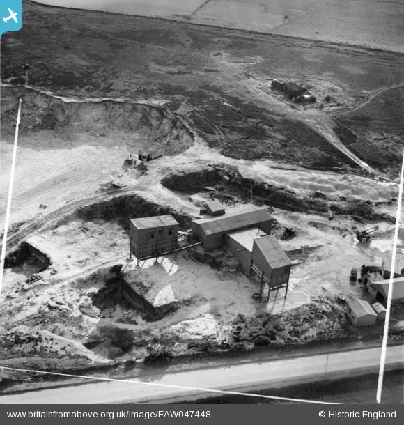
EAW047448 ENGLAND (1952). Blackhill Quarry, Black Hill, 1952. This image was marked by Aerofilms Ltd for photo editing.
© Copyright OpenStreetMap contributors and licensed by the OpenStreetMap Foundation. 2025. Cartography is licensed as CC BY-SA.
Nearby Images (14)
EAW047448

EAW047452

EAW047455

EAW047451

EAW047449

EAW047450

EAW047457

EAW047456

EAW050282

EAW047453

EAW050283

EAW050285

EAW050284

EAW047454

Details
| Title | [EAW047448] Blackhill Quarry, Black Hill, 1952. This image was marked by Aerofilms Ltd for photo editing. |
| Reference | EAW047448 |
| Date | 10-October-1952 |
| Link | |
| Place name | BLACK HILL |
| Parish | |
| District | |
| Country | ENGLAND |
| Easting / Northing | 427052, 442259 |
| Longitude / Latitude | -1.5884893419572, 53.875620416288 |
| National Grid Reference | SE271423 |
Pins
Be the first to add a comment to this image!