
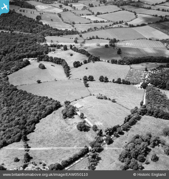
EAW050110 ENGLAND (1953). Fields by Knapp Farm House, Weston-sub-Edge, 1953. This image was marked by Aerofilms Ltd for photo editing.
© Copyright OpenStreetMap contributors and licensed by the OpenStreetMap Foundation. 2025. Cartography is licensed as CC BY-SA.
Nearby Images (9)
EAW050110

EAW050111

EAW050112

EAW050114

EAW050117

EAW050113

EAW050116

EAW050115

EAW050109

Details
| Title | [EAW050110] Fields by Knapp Farm House, Weston-sub-Edge, 1953. This image was marked by Aerofilms Ltd for photo editing. |
| Reference | EAW050110 |
| Date | 26-June-1953 |
| Link | |
| Place name | WESTON-SUB-EDGE |
| Parish | WESTON SUBEDGE |
| District | |
| Country | ENGLAND |
| Easting / Northing | 413188, 239731 |
| Longitude / Latitude | -1.8076406021336, 52.055387155708 |
| National Grid Reference | SP132397 |
Pins
Be the first to add a comment to this image!