
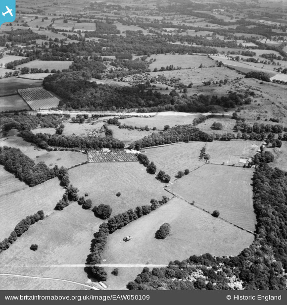
EAW050109 ENGLAND (1953). Ledge Plantation and Dover's Hill, Weston-sub-Edge, 1953. This image was marked by Aerofilms Ltd for photo editing.
© Copyright OpenStreetMap contributors and licensed by the OpenStreetMap Foundation. 2025. Cartography is licensed as CC BY-SA.
Nearby Images (9)
EAW050109

EAW050115

EAW050116

EAW050114

EAW050111

EAW050110

EAW050113

EAW050112

EAW050117

Details
| Title | [EAW050109] Ledge Plantation and Dover's Hill, Weston-sub-Edge, 1953. This image was marked by Aerofilms Ltd for photo editing. |
| Reference | EAW050109 |
| Date | 26-June-1953 |
| Link | |
| Place name | WESTON-SUB-EDGE |
| Parish | WESTON SUBEDGE |
| District | |
| Country | ENGLAND |
| Easting / Northing | 413284, 239910 |
| Longitude / Latitude | -1.8062333971959, 52.056994358941 |
| National Grid Reference | SP133399 |
