
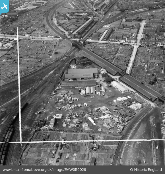
EAW050029 ENGLAND (1953). The Amalgamated Box Co Ltd Box Factory, Gipsyville, 1953. This image was marked by Aerofilms Ltd for photo editing.
© Copyright OpenStreetMap contributors and licensed by the OpenStreetMap Foundation. 2026. Cartography is licensed as CC BY-SA.
Nearby Images (9)
EAW050029

EAW050033

EAW050026

EAW050028

EAW050031

EAW050030

EAW050027

EAW050032

EAW015651

Details
| Title | [EAW050029] The Amalgamated Box Co Ltd Box Factory, Gipsyville, 1953. This image was marked by Aerofilms Ltd for photo editing. |
| Reference | EAW050029 |
| Date | 18-June-1953 |
| Link | |
| Place name | GIPSYVILLE |
| Parish | |
| District | |
| Country | ENGLAND |
| Easting / Northing | 506956, 427328 |
| Longitude / Latitude | -0.37852565515005, 53.731141283006 |
| National Grid Reference | TA070273 |
Pins

John Wass |
Friday 10th of April 2015 03:37:41 PM | |
|
John Wass |
Friday 3rd of April 2015 08:46:05 PM | |
|
John Wass |
Friday 15th of August 2014 03:39:08 PM | |
|
John Wass |
Saturday 21st of June 2014 08:43:27 PM |