
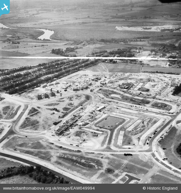
EAW049994 ENGLAND (1953). The residential area at Ferry Fryston under construction and environs, Castleford, 1953. This image was marked by Aerofilms Ltd for photo editing.
© Copyright OpenStreetMap contributors and licensed by the OpenStreetMap Foundation. 2026. Cartography is licensed as CC BY-SA.
Nearby Images (9)
EAW049994

EAW049995

EAW049991

EAW049993

EAW049989

EAW049996

EAW049997

EAW049992

EAW049990

Details
| Title | [EAW049994] The residential area at Ferry Fryston under construction and environs, Castleford, 1953. This image was marked by Aerofilms Ltd for photo editing. |
| Reference | EAW049994 |
| Date | 18-June-1953 |
| Link | |
| Place name | CASTLEFORD |
| Parish | |
| District | |
| Country | ENGLAND |
| Easting / Northing | 445542, 426283 |
| Longitude / Latitude | -1.3096035224881, 53.730728839178 |
| National Grid Reference | SE455263 |
Pins
Be the first to add a comment to this image!