
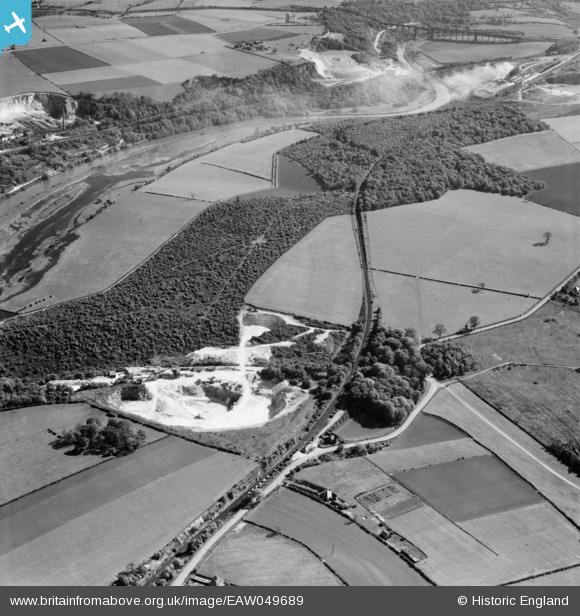
EAW049689 ENGLAND (1953). Sprotbrough Plantation, quarrying on either side of Nursery Lane and environs, Sprotbrough, 1953
© Copyright OpenStreetMap contributors and licensed by the OpenStreetMap Foundation. 2026. Cartography is licensed as CC BY-SA.
Nearby Images (23)
EAW049689

EAW043522

EAW043524

EAW043523

EAW043521

EAW049686

EAW043525

EAW043526

EAW049688

EAW049692

EAW043496

EAW047504

EAW043516

EAW047505

EAW043517

EAW043497

EAW043514

EAW047498

EAW049687

EAW043513

EAW047499

EAW047501

EAW047500

Details
| Title | [EAW049689] Sprotbrough Plantation, quarrying on either side of Nursery Lane and environs, Sprotbrough, 1953 |
| Reference | EAW049689 |
| Date | 23-May-1953 |
| Link | |
| Place name | SPROTBROUGH |
| Parish | SPROTBROUGH AND CUSWORTH |
| District | |
| Country | ENGLAND |
| Easting / Northing | 453212, 401250 |
| Longitude / Latitude | -1.1976197704022, 53.504996088539 |
| National Grid Reference | SE532013 |
Pins
Be the first to add a comment to this image!