
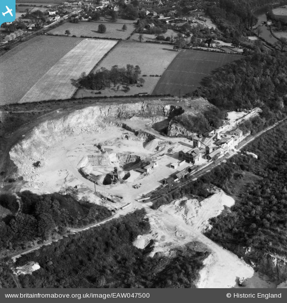
EAW047500 ENGLAND (1952). Nursery Lane and Sprotbrough Quarries, Sprotbrough, 1952
© Copyright OpenStreetMap contributors and licensed by the OpenStreetMap Foundation. 2026. Cartography is licensed as CC BY-SA.
Nearby Images (26)
EAW047500

EAW047501

EAW047503

EAW047498

EAW049687

EAW043517

EAW047499

EAW043514

EAW043516

EAW043513

EAW047505

EAW047504

EAW049691

EAW043518

EAW047502

EAW049692

EAW043512

EAW043515

EAW043526

EAW049686

EAW043525

EAW043521

EAW043523

EAW043524

EAW043522

EAW049689

Details
| Title | [EAW047500] Nursery Lane and Sprotbrough Quarries, Sprotbrough, 1952 |
| Reference | EAW047500 |
| Date | 10-October-1952 |
| Link | |
| Place name | SPROTBROUGH |
| Parish | SPROTBROUGH AND CUSWORTH |
| District | |
| Country | ENGLAND |
| Easting / Northing | 453385, 401486 |
| Longitude / Latitude | -1.1949712027062, 53.507099853592 |
| National Grid Reference | SE534015 |
Pins
Be the first to add a comment to this image!