
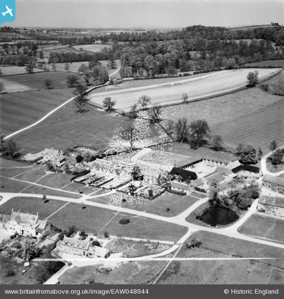
EAW048944 ENGLAND (1953). College Farm and environs, Wyck Rissington, from the south-west, 1953. This image has been produced from a damaged negative.
© Copyright OpenStreetMap contributors and licensed by the OpenStreetMap Foundation. 2026. Cartography is licensed as CC BY-SA.
Nearby Images (13)
EAW048944

EAW048943

EAW048946

EAW045868

EAW048945

EAW045867

EAW045863

EAW045864

EAW045870

EAW048942

EAW048947

EAW045865

EAW045869

Details
| Title | [EAW048944] College Farm and environs, Wyck Rissington, from the south-west, 1953. This image has been produced from a damaged negative. |
| Reference | EAW048944 |
| Date | 5-May-1953 |
| Link | |
| Place name | WYCK RISSINGTON |
| Parish | WICK RISSINGTON |
| District | |
| Country | ENGLAND |
| Easting / Northing | 418920, 221755 |
| Longitude / Latitude | -1.7250261024224, 51.893586684102 |
| National Grid Reference | SP189218 |
Pins

totoro |
Thursday 11th of September 2014 07:00:21 PM | |
|
totoro |
Thursday 11th of September 2014 06:58:48 PM | |
|
totoro |
Thursday 11th of September 2014 06:54:37 PM | |
|
totoro |
Thursday 11th of September 2014 06:52:28 PM | |
|
totoro |
Thursday 11th of September 2014 06:51:13 PM | |
|
totoro |
Thursday 11th of September 2014 06:48:47 PM | |
|
totoro |
Thursday 11th of September 2014 06:47:31 PM | |
|
totoro |
Thursday 11th of September 2014 06:43:55 PM |