
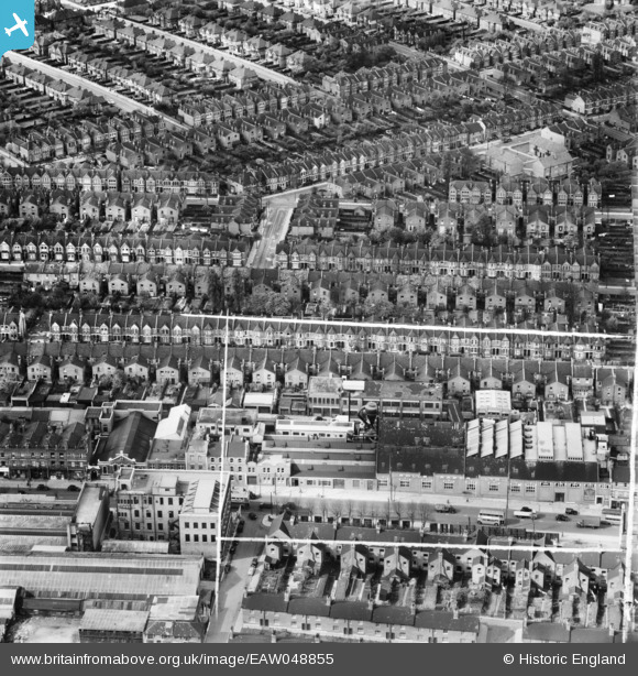
EAW048855 ENGLAND (1953). The Rolls Razor Factory and the surrounding residential area, Cricklewood, 1953. This image was marked by Aerofilms Ltd for photo editing.
© Copyright OpenStreetMap contributors and licensed by the OpenStreetMap Foundation. 2026. Cartography is licensed as CC BY-SA.
Nearby Images (34)
EAW048855

EAW048853

EAW048856

EAW049164

EAW048854

EAW020699

EAW048108

EAW049163

EAW049165

EAW048109

EAW048852

EPW034950

EAW048111

EAW048113

EAW048110

EPW034946

EPW034949

EAW048857

EPW034947

EPW034952

EAW048107

EPW034951

EAW048112

EPW034945

EAW048858

EPW025874

EPW025876

EPW025875

EPW025877

EPW025878

EPW025880

EPW005771

EPW025882

EPW025879

Details
| Title | [EAW048855] The Rolls Razor Factory and the surrounding residential area, Cricklewood, 1953. This image was marked by Aerofilms Ltd for photo editing. |
| Reference | EAW048855 |
| Date | 29-April-1953 |
| Link | |
| Place name | CRICKLEWOOD |
| Parish | |
| District | |
| Country | ENGLAND |
| Easting / Northing | 523541, 185870 |
| Longitude / Latitude | -0.21771020371638, 51.557689332629 |
| National Grid Reference | TQ235859 |
Pins

Nowy Paul |
Sunday 28th of January 2018 02:30:13 PM | |

Class31 |
Saturday 1st of August 2015 07:05:14 AM | |
|
Class31 |
Saturday 1st of August 2015 07:01:25 AM | |
|
Class31 |
Saturday 1st of August 2015 07:00:38 AM | |
|
Class31 |
Saturday 1st of August 2015 06:59:38 AM |