
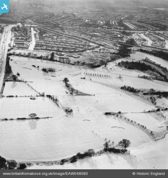
EAW048083 ENGLAND (1952). Mill Hill Golf Course under snow, Mill Hill, 1952
© Copyright OpenStreetMap contributors and licensed by the OpenStreetMap Foundation. 2026. Cartography is licensed as CC BY-SA.
Nearby Images (2)
EAW048083

EAW048085

Details
| Title | [EAW048083] Mill Hill Golf Course under snow, Mill Hill, 1952 |
| Reference | EAW048083 |
| Date | 15-December-1952 |
| Link | |
| Place name | MILL HILL |
| Parish | |
| District | |
| Country | ENGLAND |
| Easting / Northing | 520745, 193827 |
| Longitude / Latitude | -0.25528823781512, 51.629813966252 |
| National Grid Reference | TQ207938 |
Pins
Be the first to add a comment to this image!