
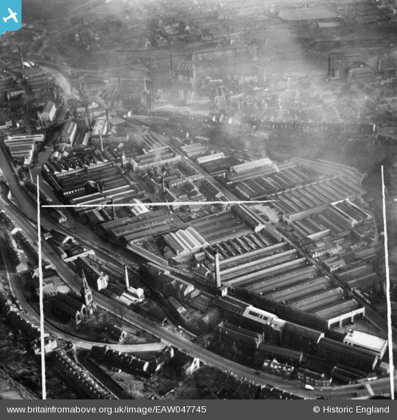
EAW047745 ENGLAND (1952). The Springdale Woollen Mills, St Thomas' Road and the surrounding industrial area, Huddersfield, 1952. This image was marked by Aerofilms Ltd for photo editing.
© Copyright OpenStreetMap contributors and licensed by the OpenStreetMap Foundation. 2026. Cartography is licensed as CC BY-SA.
Nearby Images (24)
EAW047745

EAW047746

EAW047740

EAW047742

EAW047738

EAW047739

EAW047441

EAW047440

EAW047446

EAW050469

EAW050466

EAW047445

EAW050468

EAW047442

EAW050465

EAW050470

EAW050471

EAW050467

EAW047447

EAW050472

EAW047443

EPW016469

EAW047744

EAW047741

Details
| Title | [EAW047745] The Springdale Woollen Mills, St Thomas' Road and the surrounding industrial area, Huddersfield, 1952. This image was marked by Aerofilms Ltd for photo editing. |
| Reference | EAW047745 |
| Date | 31-October-1952 |
| Link | |
| Place name | HUDDERSFIELD |
| Parish | |
| District | |
| Country | ENGLAND |
| Easting / Northing | 413896, 416012 |
| Longitude / Latitude | -1.7897954971977, 53.640205052368 |
| National Grid Reference | SE139160 |
Pins
Be the first to add a comment to this image!