
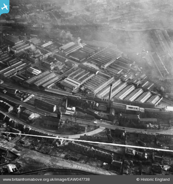
EAW047738 ENGLAND (1952). The Springdale Woollen Mills, St Thomas' Church and the surrounding industrial area, Huddersfield, 1952. This image was marked by Aerofilms Ltd for photo editing.
© Copyright OpenStreetMap contributors and licensed by the OpenStreetMap Foundation. 2026. Cartography is licensed as CC BY-SA.
Nearby Images (27)
EAW047738

EAW047740

EAW047742

EAW047440

EAW047746

EAW050469

EAW050466

EAW050468

EAW050465

EAW050467

EAW050470

EAW050471

EAW047739

EAW047445

EAW050472

EAW047442

EAW047441

EAW047745

EAW047446

EAW047443

EAW047447

EAW047744

EAW047741

EAW047444

EAW047737

EAW047743

EAW047439

Details
| Title | [EAW047738] The Springdale Woollen Mills, St Thomas' Church and the surrounding industrial area, Huddersfield, 1952. This image was marked by Aerofilms Ltd for photo editing. |
| Reference | EAW047738 |
| Date | 31-October-1952 |
| Link | |
| Place name | HUDDERSFIELD |
| Parish | |
| District | |
| Country | ENGLAND |
| Easting / Northing | 413806, 416088 |
| Longitude / Latitude | -1.7911535406563, 53.640890613349 |
| National Grid Reference | SE138161 |
