
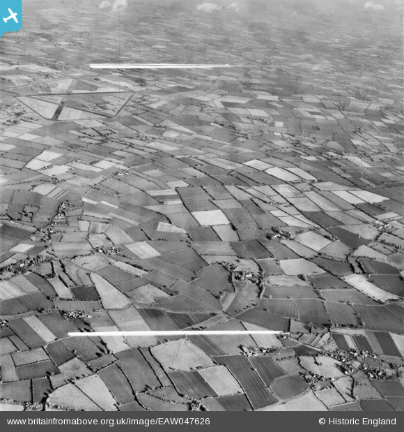
EAW047626 ENGLAND (1952). Farmland surrounding Church Farm in Linstead Magna, Linstead Hall, 1952. This image was marked by Aerofilms Ltd for photo editing.
© Copyright OpenStreetMap contributors and licensed by the OpenStreetMap Foundation. 2025. Cartography is licensed as CC BY-SA.
Nearby Images (6)
EAW047626

EAW047620

EAW047624

EAW047621

EAW047623

EAW047622

Details
| Title | [EAW047626] Farmland surrounding Church Farm in Linstead Magna, Linstead Hall, 1952. This image was marked by Aerofilms Ltd for photo editing. |
| Reference | EAW047626 |
| Date | 23-October-1952 |
| Link | |
| Place name | LINSTEAD HALL |
| Parish | LINSTEAD MAGNA |
| District | |
| Country | ENGLAND |
| Easting / Northing | 631238, 276904 |
| Longitude / Latitude | 1.3950135359692, 52.340991896412 |
| National Grid Reference | TM312769 |
Pins

Graham Yaxley |
Saturday 17th of January 2015 07:12:24 PM |