
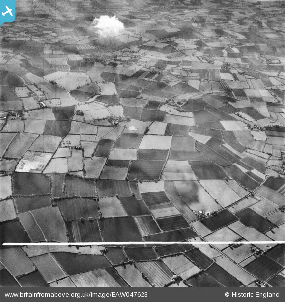
EAW047623 ENGLAND (1952). Farmland surrounding Church Farm in Linstead Magna, Linstead Hall, 1952. This image was marked by Aerofilms Ltd for photo editing.
© Copyright OpenStreetMap contributors and licensed by the OpenStreetMap Foundation. 2025. Cartography is licensed as CC BY-SA.
Nearby Images (9)
EAW047623

EAW047624

EAW047620

EAW047621

EAW047626

EAW047618

EAW047617

EAW047622

EAW047625

Details
| Title | [EAW047623] Farmland surrounding Church Farm in Linstead Magna, Linstead Hall, 1952. This image was marked by Aerofilms Ltd for photo editing. |
| Reference | EAW047623 |
| Date | 23-October-1952 |
| Link | |
| Place name | LINSTEAD HALL |
| Parish | LINSTEAD MAGNA |
| District | |
| Country | ENGLAND |
| Easting / Northing | 631298, 276767 |
| Longitude / Latitude | 1.3957984656932, 52.339736969346 |
| National Grid Reference | TM313768 |
Pins
Be the first to add a comment to this image!