
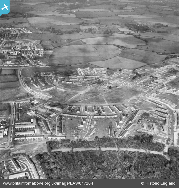
EAW047264 ENGLAND (1952). The residential areas at Whomerley Wood and Bedwell North under construction, Bedwell, 1952
© Copyright OpenStreetMap contributors and licensed by the OpenStreetMap Foundation. 2026. Cartography is licensed as CC BY-SA.
Nearby Images (5)
EAW047264

EAW053197

EAW053196

EAW053198

EAW047260

Details
| Title | [EAW047264] The residential areas at Whomerley Wood and Bedwell North under construction, Bedwell, 1952 |
| Reference | EAW047264 |
| Date | 15-October-1952 |
| Link | |
| Place name | BEDWELL |
| Parish | |
| District | |
| Country | ENGLAND |
| Easting / Northing | 524678, 224274 |
| Longitude / Latitude | -0.18755883448479, 51.902602183418 |
| National Grid Reference | TL247243 |
Pins
Be the first to add a comment to this image!