
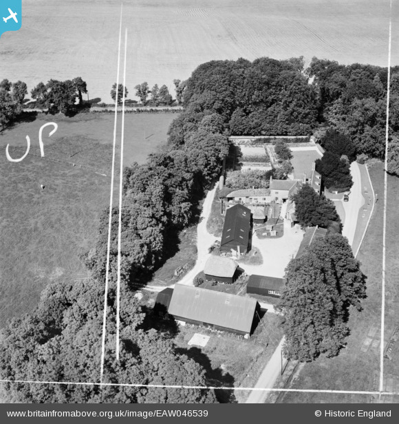
EAW046539 ENGLAND (1952). Lower House Farm, Everleigh, 1952. This image was marked by Aerofilms Ltd for photo editing.
© Copyright OpenStreetMap contributors and licensed by the OpenStreetMap Foundation. 2025. Cartography is licensed as CC BY-SA.
Nearby Images (12)
EAW046539

EAW046541

EAW046540

EAW046538

EAW046543

EAW046544

EAW046545

EAW046542

EAW046534

EAW046536

EAW046537

EAW046535

Details
| Title | [EAW046539] Lower House Farm, Everleigh, 1952. This image was marked by Aerofilms Ltd for photo editing. |
| Reference | EAW046539 |
| Date | 29-August-1952 |
| Link | |
| Place name | EVERLEIGH |
| Parish | EVERLEIGH |
| District | |
| Country | ENGLAND |
| Easting / Northing | 420888, 153469 |
| Longitude / Latitude | -1.7004894939974, 51.279471616005 |
| National Grid Reference | SU209535 |
Pins
Be the first to add a comment to this image!