
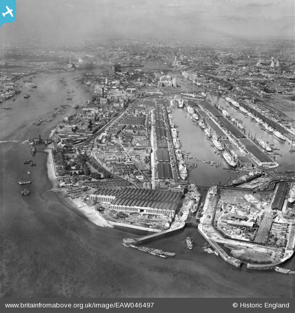
EAW046497 ENGLAND (1952). The Royal Docks and environs, North Woolwich, from the east, 1952
© Copyright OpenStreetMap contributors and licensed by the OpenStreetMap Foundation. 2026. Cartography is licensed as CC BY-SA.
Nearby Images (23)
EAW046497

EAW008731

EAW008729

EAW008736

EAW008737

EPW044125

EAW008730

EAW029489

EAW008733

EAW008735

EAW008738

EAW008748

EAW008732

EAW000036

EPW044115

EAW029488

EAW008734

EAW049352

EPW044122

EPW008553

EPW024257

EAW046498

EPW044117

Details
| Title | [EAW046497] The Royal Docks and environs, North Woolwich, from the east, 1952 |
| Reference | EAW046497 |
| Date | 28-August-1952 |
| Link | |
| Place name | NORTH WOOLWICH |
| Parish | |
| District | |
| Country | ENGLAND |
| Easting / Northing | 544059, 180088 |
| Longitude / Latitude | 0.075737275577133, 51.500861799924 |
| National Grid Reference | TQ441801 |
Pins

Brightonboy |
Wednesday 6th of July 2016 07:59:30 AM | |
|
Brightonboy |
Wednesday 6th of July 2016 07:54:25 AM |