
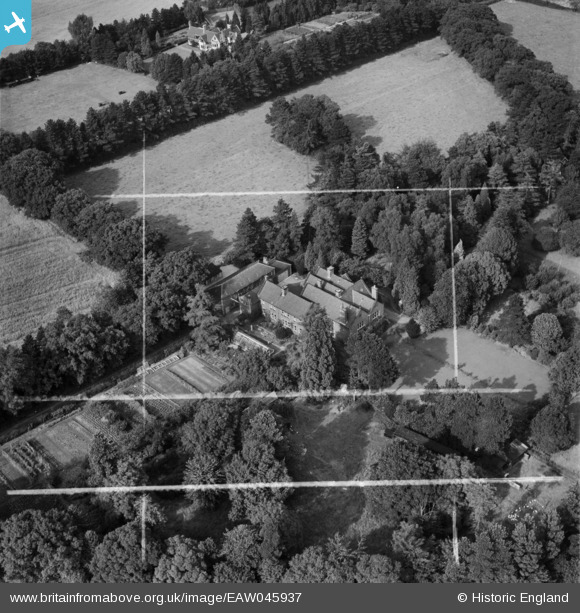
EAW045937 ENGLAND (1952). The Grange, Woodhouse, 1952. This image was marked by Aerofilms Ltd for photo editing.
© Copyright OpenStreetMap contributors and licensed by the OpenStreetMap Foundation. 2025. Cartography is licensed as CC BY-SA.
Nearby Images (9)
EAW045937

EAW045939

EAW045936

EAW045938

EAW045941

EAW045940

EAW045925

EAW045942

EAW045943

Details
| Title | [EAW045937] The Grange, Woodhouse, 1952. This image was marked by Aerofilms Ltd for photo editing. |
| Reference | EAW045937 |
| Date | 14-August-1952 |
| Link | |
| Place name | WOODHOUSE |
| Parish | WOODHOUSE |
| District | |
| Country | ENGLAND |
| Easting / Northing | 453691, 313611 |
| Longitude / Latitude | -1.2050612878206, 52.717145726248 |
| National Grid Reference | SK537136 |
Pins
Be the first to add a comment to this image!