
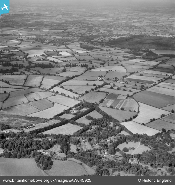
EAW045925 ENGLAND (1952). Countryside between around Brand Lane and Rushey Fields Farm, Woodhouse, from the south-west, 1952
© Copyright OpenStreetMap contributors and licensed by the OpenStreetMap Foundation. 2025. Cartography is licensed as CC BY-SA.
Nearby Images (9)
EAW045925

EAW045941

EAW045940

EAW045939

EAW045937

EAW045942

EAW045938

EAW045936

EAW045943

Details
| Title | [EAW045925] Countryside between around Brand Lane and Rushey Fields Farm, Woodhouse, from the south-west, 1952 |
| Reference | EAW045925 |
| Date | 14-August-1952 |
| Link | |
| Place name | WOODHOUSE |
| Parish | WOODHOUSE |
| District | |
| Country | ENGLAND |
| Easting / Northing | 453711, 313669 |
| Longitude / Latitude | -1.2047557196768, 52.717665148179 |
| National Grid Reference | SK537137 |
Pins
Be the first to add a comment to this image!